

 West Coast Scenic Highlights
West Coast | Regional Information | Activity Highlights | Scenic Highlights | History
With the Southern Alps forming a backdrop for the entire region, scenery is larger than life on the West Coast. It's the primary reason to visit, in any season.


West Coast Scenic Highlights Overview
Summer is the perfect time of year to explore the five national parks that can be accessed from the West Coast. Each of the parks (Kahurangi, Paparoa, Arthur's Pass, Westland and Mt Aspiring) has a network of walking tracks that will take you to astounding views and geological features. On many of the trails there are Department of Conservation camp sites and huts for overnight stays.
If you think snow falls will cramp your sightseeing style during a West Coast winter, your information needs updating. Although the temperatures are cooler during the winter months, the days are often settled warm, clear and sunny. However, if snow is your passion, the ski fields of Arthur's Pass, Porters Pass and Broken River are just one 1/2 hours away by car.
» West Coast Attractions Directory
Send a West Coast related E-Postcard to your friends.
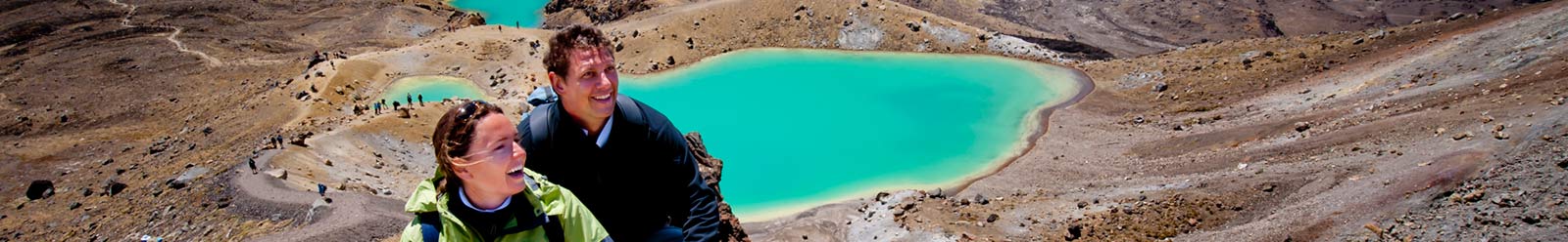
Paparoa National Park - Known for its Pancakes

West Coast
Photographer: Gareth Eyres
(www.exposure.co.nz)
Paparoa National Park was opened in 1987. Its boundaries were carefully chosen to protect the area's forests and minerals and a full range of ecosystems. A relatively small park (30,000 hectares or 74,074 acres), Paparoa is packed with variety and stunning landscapes.
Paparoa is perhaps most famous for its 'Pancake Rocks' on Dolomite Point. These fascinating limestone formations put on a spectacular spouting display in certain sea conditions. The eroded rock layers look like stacks of pancakes. Water is forced by the waves into small holes, where it blows upward, making tiny geysers. The effect is best during stormy weather. The coastal promontory of the Pancake Rocks is looped by an easy walking track.
» Paparoa National Park Information
The Home of the White Heron (Kotuku)
Whataroa and the area surrounding Coastal Okarito provide a sanctuary and feeding grounds for New Zealand's only breeding colony of Kotuku, or white heron. Visitors can go on an excursion into the nesting area accompanied by a permitted guide. From September to late February/March, breeding pairs stay in the colony and raise their chicks on precarious nesting platforms.
Nearby coastal Okarito has the largest unmodified tidal inlet in New Zealand and is a major feeding area for birds with more than 70 species being recorded.
A Journey into Glacier Country

West Coast
Photographer: Adventure Films
(www.nzphotography.com)
On the West Coast, remnants of the ice age cascade from vast snowfields of the Southern Alps to valley floors just 300 metres above sea level. Nowhere in the world's temperate zones are glaciers so accessible. A range of companies offer guided excursions to explore the spectacular ice formations. All companies provide professional guides that give full explanations regarding the geological features, flora and fauna of the area. Helicopter and fixed wing aircraft also provide scenic flights and snow landings amidst New Zealand's highest peaks overlooking the glaciers.
The villages of Franz and Fox Glacier are good bases from which to explore the glaciers. A range of walks exist surrounding the glaciers that provide excellent vantage points for viewing the glacier as well as exploring rainforest environments.
» West Coast Glaciers Information
Charming Creek Walkway, Seddonville
From the old mining settlement of Seddonville, on the northern end of the South Island's west coast, a popular walkway follows a disused private railway line through the native forest. A long time ago, the railway was used to haul timber and coal out of the Charming Creek valley.
The walk passes through several old railway tunnels, up to 30 metres long, and over several bridges. One bridge offers great views of the magnificent Mangatini Falls. At the base of the falls, look for the large, daisy-like clemisia morganii flowers—most New Zealand Celmisia's grow at much higher altitudes. Walkers may also be fortunate enough to catch sight of the rare, and very large, native carnivorous snail—powelliphanta. This unique New Zealand snail is known for its beautiful shiny shell with colours ranging from red and browns to yellow and black.
The walkway offers spectacular views of the surrounding countryside. The sheer bluffs of the Ngakawau Gorge and immense river boulders along the Ngakawau River create a dramatic final section as the track nears the seaside town of Hector.
The Charming Creek walkway is 10.5 kilometres long and takes around five hours to complete. A shorter option is to start at the Hector end and hike for about one hour to the Mangatini Falls.
Lake Matheson
At Lake Matheson, near Fox Glacier, nature has combined exactly the right ingredients to create truly stunning reflections of New Zealand's highest peaks—Aoraki/Mount Cook and Mount Tasman.
The waters of Lake Matheson are dark brown, so on a calm day they create the ideal reflective surface. The colour is caused by natural leaching of organic matter from the surrounding native forest floor. By a happy coincidence, the mountains to the east are perfectly positioned to reflect in the lake.
An easy walk passes over the Clearwater River suspension bridge, just a few minutes from the car park. The Clearwater River drains off the lake and is brownish under the bridge, however it quickly becomes clear and true to its name. The track continues through ancient native forest, including tall rimu and kahikatea trees, to a pontoon that extends out onto the lake.
Long finned native eels thrive in the darkness of Lake Matheson, which is also home to many water birds. For this reason the lake is a traditional mahinga kai (food gathering place) for Māori people.
Lake Matheson was formed about 14,000 years ago, when the Fox Glacier retreated from its last major advance towards the sea and left a depression which later filled with water.
The walk from the car park takes 40 minutes to the pontoon, or 1.5 hours around the lake.
Useful West Coast Links
To help plan your West Coast holiday choose from the main categories below:
- West Coast Accommodation
- West Coast Tours
- West Coast Attractions and Activities
- West Coast Transport
- West Coast Cuisine and Dining
- West Coast Shopping
- West Coast Visitor Information
Send a West Coast related E-Postcard to your friends.
West Coast Region Information
 Regional Information
Key information and facts about the West Coast region.
 Activity Highlights
Major activities and attractions in the West Coast region.
 Scenic Highlights
Major natural attractions in the West Coast region.
 History
History of the West Coast region.
West Coast Tourism Operators
Choose from our accommodation, attractions, tours, transport or visitor information categories below to find a tourism operator in West Coast.


