

Climb to the Top of Te Mata Peak

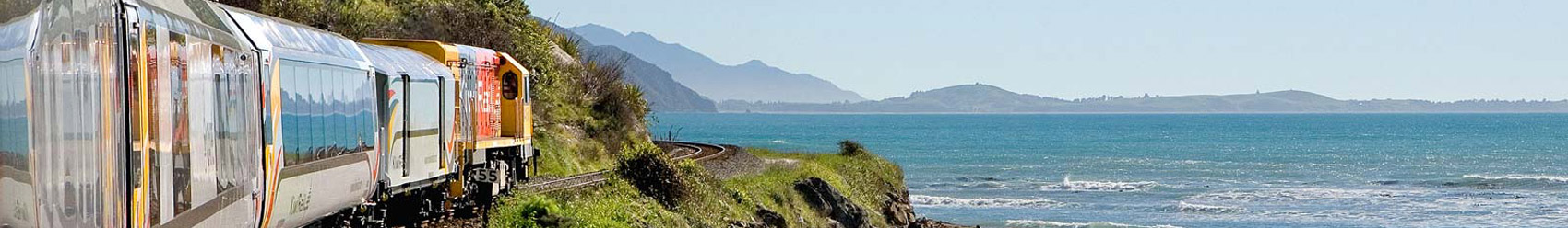
Hawke's Bay
Photographer: Chris McLennan
(www.cmphoto.co.nz)

Hawke's Bay
Photographer: Chris McLennan
(www.cmphoto.co.nz)
Te Mata Peak is located at the western boundary of the wine-producing Heretaunga Plains, south of Napier, in the Hawke's Bay region of New Zealand.
Te Mata Peak towers 400 metres above sea level and offers panoramic views of the Ruahine, Kaweka and Maungaharuru ranges and Cape Kidnappers. The volcano Ruapehu (located within the Tongariro National Park) is also visible in the distance.
There are a number of short walking trails through the Te Mata Peak Trust Park (approximately one hour each way).
Te Mata Walking Trails
The nature trails on Te Mata Peak are great for hikers and mountain bikers.
The up-hill climb is an excellent cardio workout, but the amazing views make the exertion totally worthwhile.
Other hiking and biking trails in the Te Mata Trust Park lead through forest and along limestone valleys.
Māori Legend
According to Māori legend, Te Mata hillscape is a sleeping giant, with the hill being the body of Māori Chief, Te Mata O Rongokako.
The story goes that the people of the Heretaunga Plains, who lived in fear of the coastal tribes of Waimarama, arranged for the beautiful maiden Hinerakau to capture the heart of Te Mata, the giant leader of the Waimarama tribes. The plan succeeded, but she too fell in love.
However, the people of Heretaunga wanted revenge for years of trouble with the Waimarama tribes. They demanded that Hinerakau make Te Mata prove his devotion by biting through the hills between the coast and the plains, so that people could come and go with greater ease.
Te Mata died proving his love and today his half-accomplished work can be seen in what is known as The Gap or Pari Karangaranga (echoing cliffs). His prostrate body forms Te Mata Peak.
» Hawke's Bay Regional Information


