Driving Route : Christchurch - Fox Glacier - Christchurch
- Overview
- Day 1 : Christchurch to Greymouth
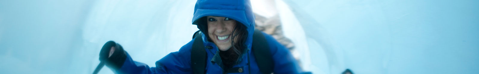
- Day 2 : Greymouth to Fox Glacier
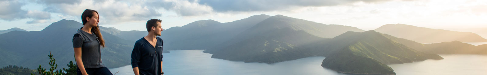
- Day 3 : Fox Glacier to Wanaka
- Day 4 : Wanaka to Mt Cook Village
- Day 5 : Mt Cook Village to Christchurch
Featured Tourism Operators


Day 1: Christchurch to Greymouth
Travel time is approximate only, based on an average driving speed under normal road conditions.
| Travel Time | Km | (Miles) | |
|---|---|---|---|
| Christchurch - Arthur's Pass | 2 hrs | 170 | 106 |
| Arthur's Pass - Greymouth | 1 hr | 84 | 53 |
| Totals for Day | 3 hrs | 254 | 159 |
Christchurch - Arthur's Pass
170 km (106 miles)
Approximately 2 hours
Road Conditions: State Highway
The South Island's largest city, Christchurch is an entertaining mixture of refined lifestyle and cultural excitement. The tranquil Avon River meanders through the city, historic buildings house a lively arts community and restored trams make it easy to get around. Visit heritage sites, museums and art galleries, and enjoy the highly developed restaurant scene.
Rural serenity and friendly towns lead you across the Canterbury Plains. You'll pass Kirwee, Darfield, Sheffield and Springfield. The road then winds up into the skiing areas of Porter Heights and Craigieburn before following the Waimakariri and Bealey Rivers to Arthur's Pass. Lakes Pearson and Grasmere are photo opportunities along the way.
The route known as Arthur's Pass was first used by Māori tribes crossing to the west coast to find pounamu (jade). Today it's a sophisticated mountain pass, memorable for its scenery as well as its breathtaking civil engineering.
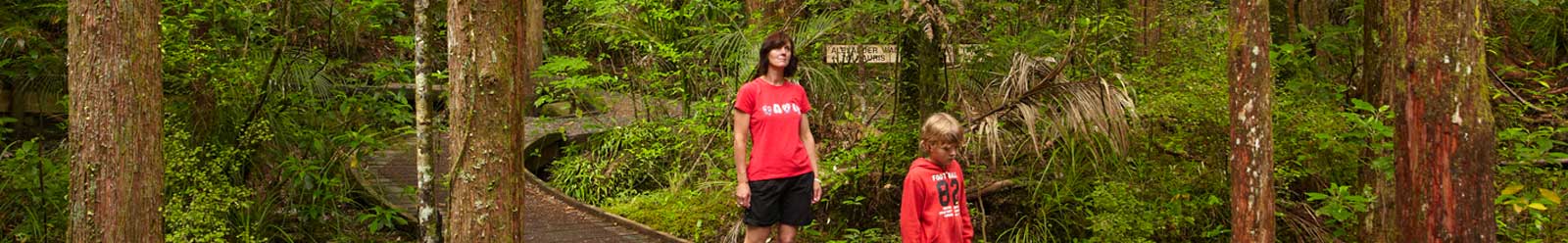
The settlement of Arthur's Pass is a base for climbing, hiking, hunting and skiing adventures in the adjacent national park. There's a good choice of short walks.
Arthur's Pass - Greymouth
84 km (53 miles)
Approximately 1 hour
Road Conditions: State Highway
The settlement of Arthur's Pass is a base for climbing, hiking, hunting and skiing adventures in the adjacent national park. There's a good choice of shorter walks. Native birds commonly seen include the kea, tui and bellbird.
The route known as Arthur's Pass was first used by Māori tribes crossing to the west coast to find pounamu (jade). Today it's a sophisticated mountain pass, memorable for its scenery as well as its breathtaking civil engineering.
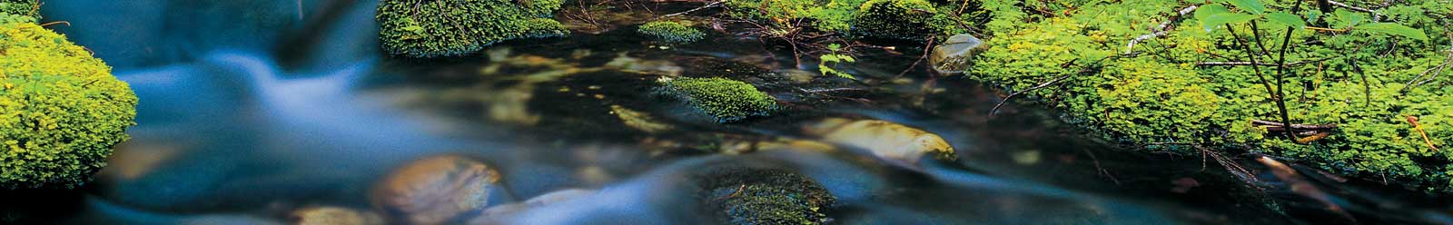
Once you're through the pass, the misty mountains gradually give way to classic west coast river and forest scenery. Rushing water, impressive bridges and tiny towns are soulfully picturesque.
Greymouth has a long gold mining history. It's the largest town on the west coast and is known for its awesome seascapes. The local brewery runs tours or you can catch up with west coast history at the museum. White water rafting, sea kayaking and gold panning are other things to do.
- Overview
- Day 1 : Christchurch to Greymouth
- Day 2 : Greymouth to Fox Glacier
- Day 3 : Fox Glacier to Wanaka
- Day 4 : Wanaka to Mt Cook Village
- Day 5 : Mt Cook Village to Christchurch
View more Christchurch driving routes.
Directory Information
Christchurch:
Accommodation,
Attractions and Activities,
Tours,
Transport,
Visitor Information
Arthur's Pass, Canterbury:
Accommodation,
Attractions and Activities,
Tours,
Transport,
Visitor Information
Greymouth, West Coast:
Accommodation,
Attractions and Activities,
Tours,
Transport,
Visitor Information


