

Driving Route : Rotorua - Waitomo - Napier - Rotorua
Day 5 : Waikaremoana (Urewera National Park) to Rotorua
- Overview
- Day 1 : Rotorua to Waitomo Caves
- Day 2 : Waitomo Caves to Taupo
- Day 3 : Taupo to Napier
- Day 4 : Napier to Waikaremoana (Urewera National Park)
- Day 5 : Waikaremoana (Urewera National Park) to Rotorua
Featured Tourism Operators


Route Summary
Travel time is approximate only, based on an average driving speed under normal road conditions.
| Travel time | Km | (Miles) | |
|---|---|---|---|
| Waikaremoana (Urewera National Park) - Rotorua - Direct but slower route* | 8 - 9 hrs | 159 | 98.798 |
| Waikaremoana (Urewera National Park) - Rotorua - Longer but faster route | 5 hrs | 371 | 230 |
Waikaremoana (Urewera National Park) - Rotorua
159 km or 371 km (230 miles)
Approximately 8-9* or 5 hours
Road Conditions: State Highway
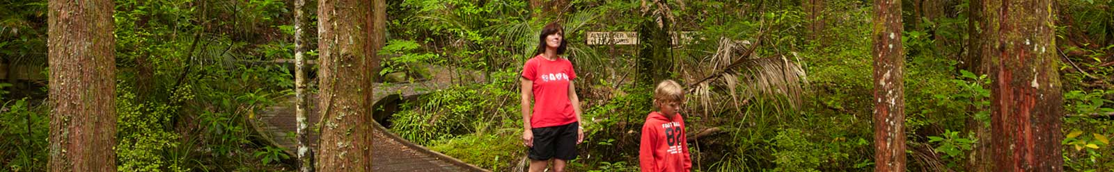
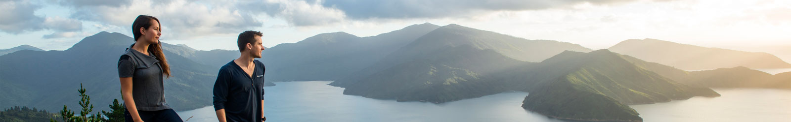
Waikaremoana is one of New Zealand's most beautiful wilderness lakes, and the gateway to the Urewera National Park. Walking tracks are well maintained and clearly signposted. The Onepoto Caves are a highlight.
Near the shores of the lake is Aniwaniwa, which has a visitor centre. Also on the lake shore is a motor camp with motels, cabins and tent-sites.
Forest is the dominant scenery on the adventurous road to Rotorua. You'll be driving through the native forest of the Urewera Ranges and Whirinaki, followed by Kaingaroa Forest—one of the world's largest pine plantations.
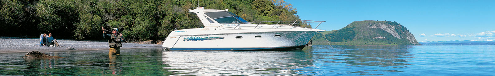
Horse trekking, trout fishing, and hiking are all possible activities. Murupara is the only town you'll encounter—a well-equipped forestry settlement with a passion for hunting and fishing.
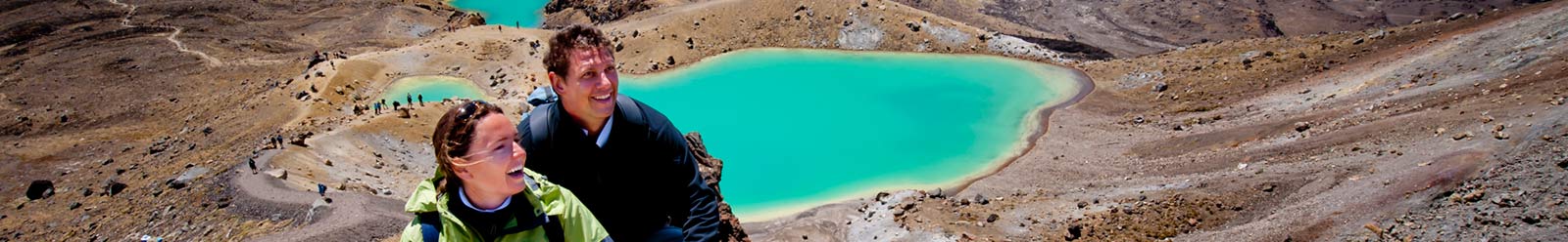
Rotorua sits squarely on the Pacific Ring of Fire, so volcanic activity is part of the city's past and present. Explore the geothermal areas and discover the unique culture of New Zealand's Māori people. Rotorua is entertaining in any weather, at any time of the year.
* A large section of this road is not sealed, windy, hilly, narrow, and corrugated in parts. This curvy and narrow mountainous road which rarely permits speeds over 30km/h, but the scenery is absolutely incredible!
- Overview
- Day 1 : Rotorua to Waitomo Caves
- Day 2 : Waitomo Caves to Taupo
- Day 3 : Taupo to Napier
- Day 4 : Napier to Waikaremoana (Urewera National Park)
- Day 5 : Waikaremoana (Urewera National Park) to Rotorua
View more Rotorua driving routes.
Directory Information
Eastland:
Accommodation,
Attractions and Activities,
Tours,
Transport,
Visitor Information
Rotorua:
Accommodation,
Attractions and Activities,
Tours,
Transport,
Visitor Information


