

 Rangitikei History
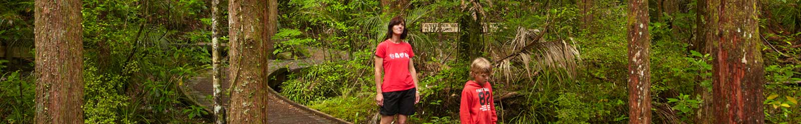
Rangitikei | Regional Information | Activity Highlights | Scenic Highlights | History
Explore the natural and cultural history of the Rangitikei region.


Rangitikei History Overview

Rangitikei
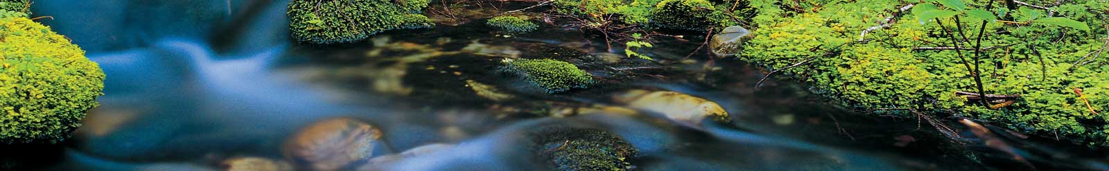
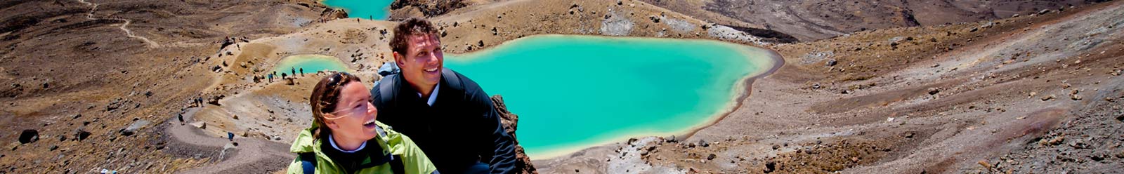
Nothing has influenced the Rangitikei region's landscape more than the mighty Rangitikei River as it has carved its way from its headwaters in the Kaimanawa Ranges to the Tasman Sea in the south, forming passages of majestic river canons, alternating with quiet stretches of sparkling trout-laden pools.
The sheer papa (mudstone) bluffs which define the river are the shining white iconic feature of the Rangitikei, separating this ribbon of clear pure water from the surrounding trees, pants and pasture growing on the rich and fertile soils of its hills and plains.
Flowing from the Ruahine and Kaimanawa Mountains, the Rangitikei River is one of the longest rivers in New Zealand, travelling 241 km to the Tasman Sea.
Early Rangitikei History

Rangitikei
The explorer who named the Rangitikei River was named Hau. He was travelling down the coast from Taranaki following his wife Wairaka who had run off with her lover. By the time he reached the Manawatu Hau had crossed several rivers, but Hau was afraid he would not be able to get across this big, wide river and so he named the river Manawatu, meaning "heart standing still".
The area was first populated by Ngati Apa - a proud and aristocratic tribe from the Aotea canoe - with a number of pa from Onepuhi down to Parewanui about 13 kilometres from the mouth of the Rangitikei. In the early 19th century they suffered severely at the hand of Te Rauparaha of the Ngati Toa, and Ngati Ruakawa, which greatly lessened their power and influence.
European Settlement

During the 1840s a number of settlers made agreements with Māori owners for the settlement of the land within the Rangitikei District. Many travelled up the coast from Wellington and crossed the Rangitikei River in a ferry operated by Thomas Scott.
Without roads, the first settlers were restricted to the windswept coastlands and along the two boundary rivers. The settlement was along the two rivers, from the Turakina River to Bonny Glen and stretched along the Rangitikei River from Parewanui to Porewa and Rata and only later from Porewa to Tutaenui, by 1858 the district was well settled.
In 1868 the coaching days commenced, Rangitikei's town of Marton became linked by road with Wellington and Wanganui. The first railway was opened in the district in 1878 from Marton to Turakina followed by Halcombe to Marton and Foxton to Wanganui the same year.
In 1883/4 John Rochfort, a Government surveyor created the route for the railway line from Marton through the upper Rangitikei and Hautapu districts to Te Awamutu. Rail played a large part in the early development of the Taihape township, the railway station was completed in 1904, by 1909 there were 23 railway houses.
Adam Glasgow was the first white man to live in the Rangitikei, living with a Māori tribe in Turakina. In 1841 the Glasgow family welcomed Scotsman Alexander Grant an early settler in Turakina, he was a surveyor from Wellington and New Plymouth before settling in the Rangitikei.
Useful Rangitikei Links
To help plan your Rangitikei holiday choose from the main categories below:
- Rangitikei Accommodation
- Rangitikei Tours
- Rangitikei Attractions and Activities
- Rangitikei Shopping
- Rangitikei Visitor Information
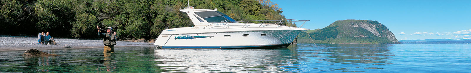
Rangitikei Region Information
 Regional Information
Key information and facts about the Rangitikei region.
 Activity Highlights
Major activities and attractions in the Rangitikei region.
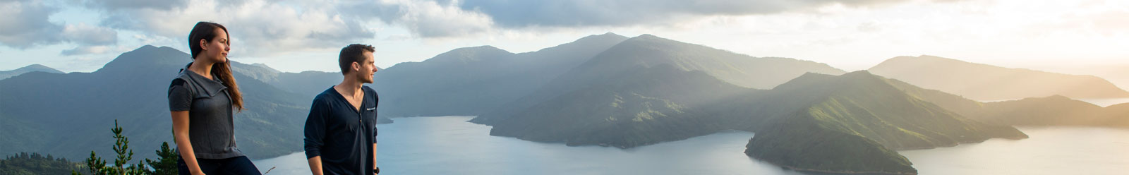
 Scenic Highlights
Major natural attractions in the Rangitikei region.
 History
History of the Rangitikei region.
Rangitikei Tourism Operators
Choose from our accommodation, attractions, tours, transport or visitor information categories below to find a tourism operator in Rangitikei.


